
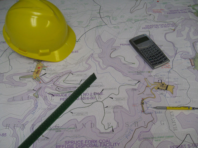
KLD land surveying services involve the measurement, mapping, and analysis of the physical features and boundaries of a parcel of land. Our primary goal is to gather accurate and detailed information about the terrain, topography, and other relevant characteristics of a specific area. Our land surveying services play a critical role in various industries, including real estate development, construction, urban planning, environmental management, and infrastructure design.
At KLD, we understand the significance of providing outstanding and reliable services that are executed with utmost precision, while adhering to timelines and budgetary constraints. We prioritize excellence and aim to optimize word choice, structure, readability, and eloquence to ensure a seamless experience for our clients.
Our team comprises highly skilled professionals with extensive expertise in diverse domains of land surveying services. Equipped with state-issued licenses from Minnesota and backed by substantial experience in both public and private sectors, our dedicated land surveyors are fully prepared to tackle any project that comes their way.
At KLD, we utilize state-of-the-art survey equipment and advanced techniques to meet the varied land surveying needs of our clients. Our extensive range of surveying services includes the following: